Natural Resources
Wetland Resource Area Delineations
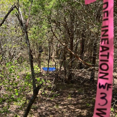
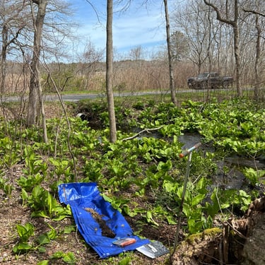
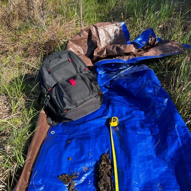
Wetland Resource Area Delineations are an essential part of environmental consulting and wetland permitting. This is the process of accurately identifying and mapping wetland boundaries within a specific area. The process begins with a comprehensive field investigation, where Sabatia, Inc. assesses soil types, vegetation, and hydrological conditions to identify areas that meet the criteria for wetland classification. The end result is a delineation that informs land use decisions and ensures compliance with wetland protection regulations. This aids in planning sustainable development and obtaining necessary permits for work in or near wetland areas.
Botanical Analyses
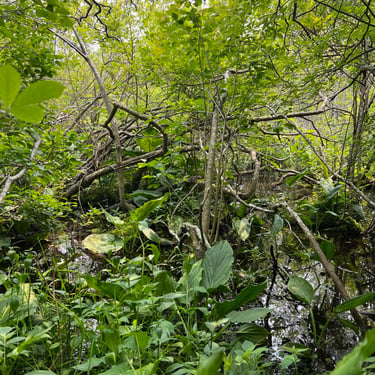
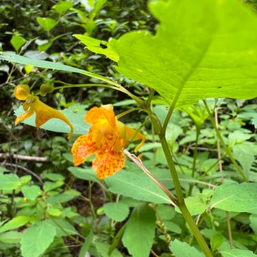
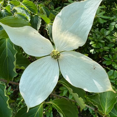
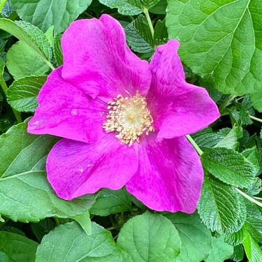
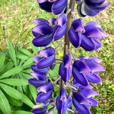
Botanical analyses are a component of properly assessing potential wetland areas. The analysis begins with a thorough field survey, during which Sabatia, Inc. records observations about the plant life. We identify the species present, their abundance, and their distribution across the site. This information is then used to assess the diversity of the plant community, identify any rare or endangered species, and determine the area's ecological value. The findings from a botanical analysis can provide essential data for the wetland delineation and the development of management plans.
CONTACTS
774-363-4141
Corey@Sabatia.net
ADDRESS
95 State Road, Unit 124
Sagamore Beach, MA 02562